In the sun-drenched waters of the Baia submerged park, off the coast of southern Italy, a team of researchers has been making waves in the field of underwater archaeology. Led by Dr. C. Violante from the Institute of Heritage Science (ISPC) at the Consiglio Nazionale delle Ricerche (CNR) in Naples, the team has been employing cutting-edge acoustic remote sensing technology to map and study the underwater cultural heritage in the area.
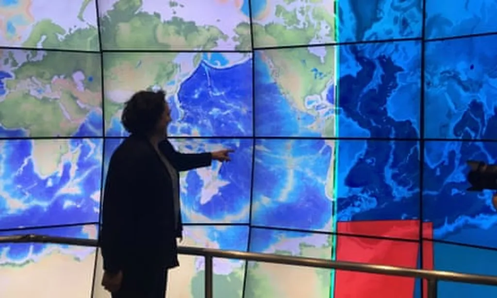
Now, you might be thinking, “What’s so special about this? We’ve heard about sonar before, right?” Well, buckle up, because this isn’t your average sonar. Violante and his team are using the latest generation of ultra-high resolution (UHR) multibeam echo-sounders (MBES). These nifty gadgets integrate advanced acoustic array geometry and high-precision inertial navigation and positioning systems. In plain speak, they’re like the Swiss Army knives of underwater mapping tools.
So, what does this mean for the maritime sectors? Well, for starters, these UHR MBES systems can rapidly generate massive point clouds of millions of individual bathymetric measurements. That’s a mouthful, but essentially, it means they can create incredibly detailed 3D maps of the seabed. This is a game-changer for underwater archaeology, as Violante explains, “These methods are efficient in data acquisition and yield results that are both repeatable and quantifiable.”
But the benefits don’t stop at archaeology. The commercial impacts and opportunities are vast. For instance, the offshore energy sector could use this technology to better understand and map the seabed before installing wind farms or laying pipelines. Similarly, the fishing industry could benefit from more accurate mapping of the seabed to identify suitable fishing grounds and avoid damaging equipment on underwater obstacles.
Moreover, the tourism industry could leverage these detailed 3D maps to create immersive virtual reality experiences, allowing people to explore underwater cultural heritage sites from the comfort of their homes. This could be a boon for countries with rich underwater cultural heritage, like Italy, as it could attract more tourists and generate more revenue.
The team’s work was recently published in ‘The International Archives of the Photogrammetry, Remote Sensing and Spatial Information Sciences’, which, in English, is a fancy way of saying ‘The International Archives of the Science of Making Detailed Maps from Afar Using Light and Sound’.
In conclusion, Violante and his team’s work is not just about uncovering the secrets of the past. It’s about leveraging technology to create opportunities for the future. And in the ever-evolving maritime sectors, that’s a treasure worth diving for.