In a groundbreaking study published in the journal Atmospheric Chemistry and Physics, researchers led by Dr. M. Ratynski from the Laboratory of Atmospheres, Milieux and Spatial Observations (LATMOS) in France have shed new light on the behavior of gravity waves in the tropical lower stratosphere. Using data from the European Space Agency’s Aeolus satellite, the team has identified a significant hotspot of gravity wave activity that shifts between the Indian Ocean and the Maritime Continent with the seasons. This finding could have substantial implications for maritime industries, particularly in the areas of weather forecasting and climate modeling.
Gravity waves are ripples in the atmosphere caused by buoyancy forces, often triggered by convective activity like thunderstorms. These waves can influence weather patterns and climate systems, making their accurate representation in weather models crucial. The Aeolus satellite, equipped with the Atmospheric LAser Doppler INstrument (ALADIN), provides near-global wind profiles that enable scientists to study these waves in greater detail.
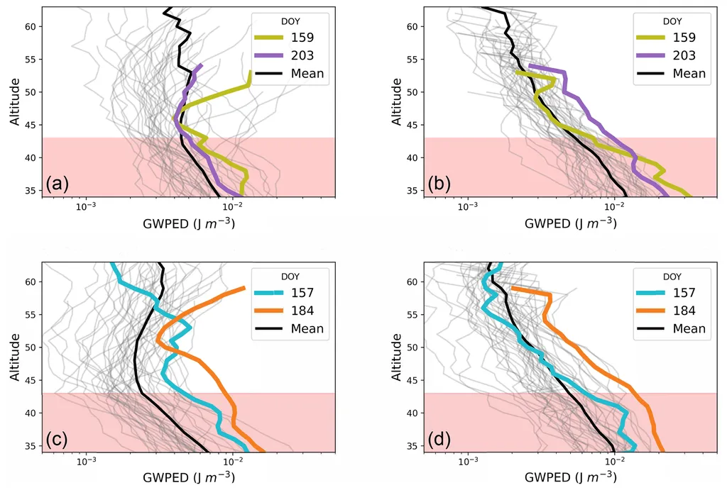
Dr. Ratynski and his team analyzed wind measurements from Aeolus and compared them with data from the ERA5 reanalysis, a comprehensive model that combines observational data with numerical weather prediction models. They found that the ERA5 model consistently underestimates the kinetic energy of gravity waves in convective regions, particularly over the Indian Ocean where conventional wind measurements are sparse.
“This underestimation suggests that current reanalysis products may not fully capture the impact of convection-driven wave activity,” said Dr. Ratynski. “By providing direct wind measurements in these data-sparse regions, Aeolus offers a valuable dataset for evaluating and potentially improving the representation of gravity waves in reanalyses.”
The study also compared Aeolus data with measurements from Global Navigation Satellite System Radio Occultation (GNSS-RO), which provided additional confirmation of the underrepresentation of gravity wave activity in reanalysis models. This multi-instrumental approach allowed the researchers to verify the empirical grounding of the established ratio between kinetic and potential energy in gravity waves.
For the maritime industry, these findings could lead to more accurate weather forecasts and climate models, which are essential for safe and efficient navigation. Improved understanding of gravity waves can help predict severe weather events, optimize routing, and enhance the overall safety of maritime operations. Additionally, better climate models can aid in long-term planning and risk assessment for maritime businesses.
“The combination of Aeolus and GNSS-RO data allows for an observationally based examination of the partitioning between kinetic and potential energy, highlighting discrepancies with reanalysis products that could inform future model parameterization development,” added Dr. Ratynski.
As the maritime industry continues to rely on advanced technology and data-driven decision-making, the insights from this study could pave the way for more precise and reliable weather and climate information. This, in turn, can lead to improved operational efficiency, reduced risks, and enhanced sustainability in maritime activities.
In summary, the research led by Dr. Ratynski and his team at LATMOS provides a significant step forward in understanding gravity waves in the tropical lower stratosphere. The findings not only advance our scientific knowledge but also offer practical benefits for the maritime sector, highlighting the importance of continued investment in satellite technology and data analysis.