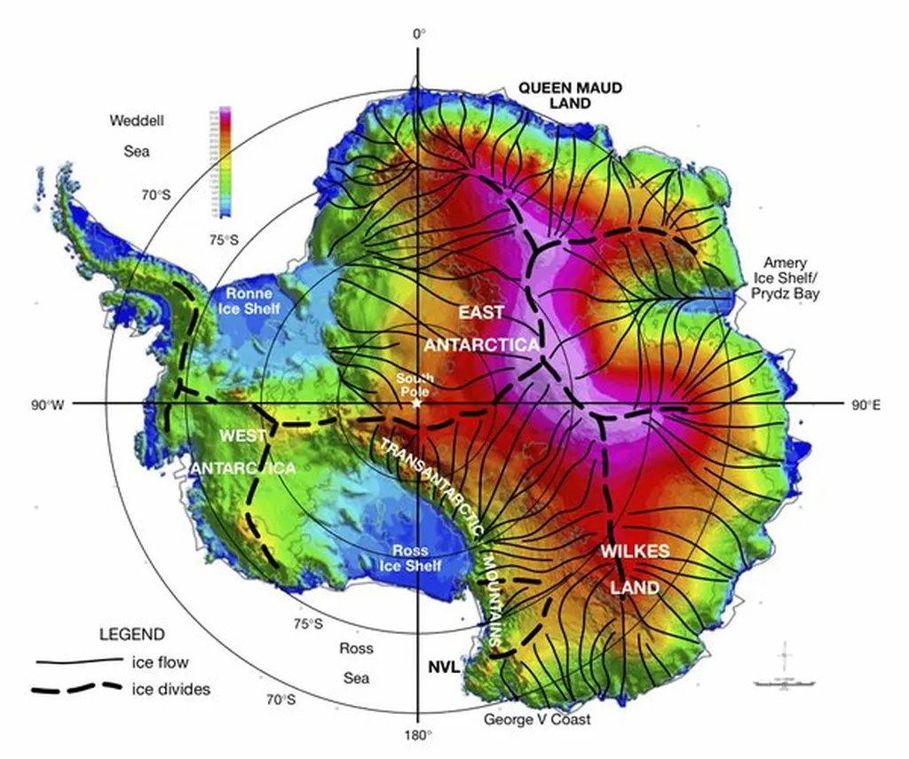
In the frosty, windswept landscapes of Maritime Antarctica, a pioneering study led by Dr. D. C. D. Mello from the Department of Soil Science at the Federal University of Viçosa, Brazil, is shedding new light on the continent’s geological secrets. The research, published in the journal ‘Geoscientific Model Development’ (translated as ‘Geoscientific Model Development’), is using cutting-edge technology to unravel the complex interplay of periglacial processes, pedogeomorphology, and lithological composition in this remote region.
So, what’s all the fuss about? Well, imagine you’re a maritime professional, perhaps involved in Antarctic tourism or scientific logistics. Understanding the geophysical properties of the land can be crucial for planning safe and efficient operations. This study is like a treasure map, revealing the hidden patterns of natural radioactivity and magnetic susceptibility across different rock types and landscapes.
Dr. Mello and his team ventured into the harsh Antarctic environment, equipped with portable gamma spectrometers and magnetic susceptibility meters. They collected data from various igneous rocks, integrating it with terrain attributes and lithology. The goal? To create detailed maps that predict the distribution of radionuclides and magnetic susceptibility, using a machine learning approach called random forest algorithm.
The results are fascinating. For instance, the study found that thorium levels were highest in elevated, flat, and west-facing beach areas. “The distribution of radionuclides and ferrimagnetic minerals was influenced by morphometric variables,” Dr. Mello explained. This means that the shape and slope of the landscape play a significant role in how these elements are spread across the terrain.
But what does this mean for maritime sectors? Well, understanding the geophysical properties of the land can help in planning safe and efficient operations. For example, knowing the distribution of certain minerals can aid in the safe navigation of vessels, as well as the planning of scientific expeditions and logistical operations.
Moreover, the study’s findings could have implications for environmental management and conservation efforts. By understanding the complex interplay of periglacial processes and pedogeomorphology, we can better predict how the landscape will respond to climate change, which is crucial for preserving the delicate Antarctic ecosystem.
In the words of Dr. Mello, “In regions characterized by diverse terrain attributes and abundant active and intense periglacial processes, the spatial distribution of geophysical variables does not reliably reflect the actual lithological composition of the substrate.” This underscores the importance of detailed, localized studies like this one in understanding the unique geological characteristics of Maritime Antarctica.
So, while the study may not directly translate to immediate commercial opportunities, it lays the groundwork for more informed decision-making in maritime sectors operating in and around Antarctica. It’s a reminder that even in the most remote and inhospitable places on Earth, science can uncover valuable insights that benefit us all.

