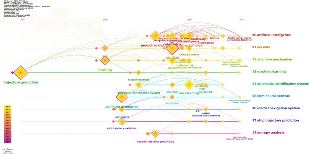
In the ever-evolving world of maritime navigation, a groundbreaking study led by Ons Aouedi from the SnT, University of Luxembourg, Kirchberg, Luxembourg, is making waves. Published in the IEEE Transactions on Machine Learning in Communications and Networking, the research introduces a novel approach to vessel trajectory prediction using Automatic Identification System (AIS) data. This isn’t just another tech paper; it’s a game-changer for maritime professionals, promising enhanced safety and efficiency in vessel navigation.
So, what’s the big deal? Well, imagine you’re a ship captain or a maritime traffic controller. You rely on accurate predictions of vessel movements to make critical decisions. Traditional methods of trajectory prediction often fall short due to irregular data sampling, changing environmental conditions, and the diverse behaviors of different vessels. That’s where Aouedi’s research comes in.
The study proposes a velocity-based trajectory prediction framework. Instead of predicting a vessel’s absolute position, it predicts the vessel’s motion in terms of latitude and longitude velocities. Think of it like this: instead of trying to guess where a car will be in an hour, you predict its speed and direction, then calculate its position from there. This approach simplifies the learning process, improves temporal continuity, and is more scalable, making it perfect for resource-constrained environments like non-terrestrial networks (NTNs), such as low Earth orbit (LEO) satellite constellations.
The predictive model is built on a Long Short-Term Memory (LSTM) network, enhanced with attention mechanisms and residual connections, dubbed LSTM-RA. This fancy-sounding tech is like giving the model a superpower to capture complex temporal dependencies and adapt to noise in real-world AIS data. In plain terms, it’s really good at learning from past data to predict future movements, even when the data is messy or incomplete.
Aouedi and her team tested the framework on two maritime datasets, and the results are impressive. The model outperformed state-of-the-art baselines, demonstrating robustness and accuracy. This means it’s not just a theoretical breakthrough; it’s a practical solution that can be implemented in real-world scenarios.
So, what does this mean for the maritime industry? For starters, enhanced trajectory prediction can significantly improve navigation safety. By accurately predicting vessel movements, ships can avoid collisions, optimize routes, and reduce fuel consumption. This isn’t just good for the environment; it’s good for the bottom line. Fuel costs are a significant expense for shipping companies, and any reduction can lead to substantial savings.
Moreover, improved trajectory prediction can enhance maritime surveillance and monitoring. This is crucial for detecting and preventing illegal activities like smuggling, piracy, and illegal fishing. It also aids in search and rescue operations, as accurate predictions can help locate vessels in distress more quickly.
The commercial impacts and opportunities are vast. Shipping companies, port authorities, and maritime surveillance agencies can all benefit from this technology. It’s a tool that can make maritime operations safer, more efficient, and more sustainable. As Aouedi puts it, “This framework is well-suited for resource-constrained NTN environments,” highlighting its potential for widespread adoption.
In the words of the lead author, “Our model predicts vessel motion in the form of latitude and longitude velocities,” a approach that simplifies the learning task and improves scalability. This innovation is a testament to the power of machine learning and data analytics in transforming traditional industries.
As the maritime sector continues to embrace digital transformation, research like Aouedi’s will play a pivotal role in shaping the future of maritime navigation. It’s an exciting time for the industry, and with advancements like these, the horizon looks brighter than ever.