Unmanned Vehicles Steer Maritime Security Into Uncharted Legal Waters
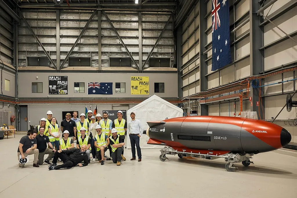
In the ever-evolving world of maritime security, a new player is making waves: unmanned vehicle systems (UVSs). A recent study published in the journal *Frontiers in Marine Science* (which translates to *Frontiers in Ocean Science*) sheds light on ho
Unmanned Vehicles Steer Maritime Security Into Uncharted Legal Waters Read More »

